Old Seagrove's Dirt Roads Are Still Being Decided, and So Is Who Pays
October 1, 2026
October 1, 2026
"85 percent of those who voted voted yes." Shirley Garrett, who represented the Old Seagrove neighborhood planning committee, said that to Walton County commissioners on February 27, 2025, closing out nearly two years of meetings about the future of the neighborhood's streets. The commissioners voted 3-2 that day to adopt the Old Seagrove Neighborhood Plan. Most of the coverage since has focused on what the plan did to short-term rental bedroom counts and building setbacks. Almost none of it has focused on what the plan did, and didn't quite finish doing, to the roads themselves.
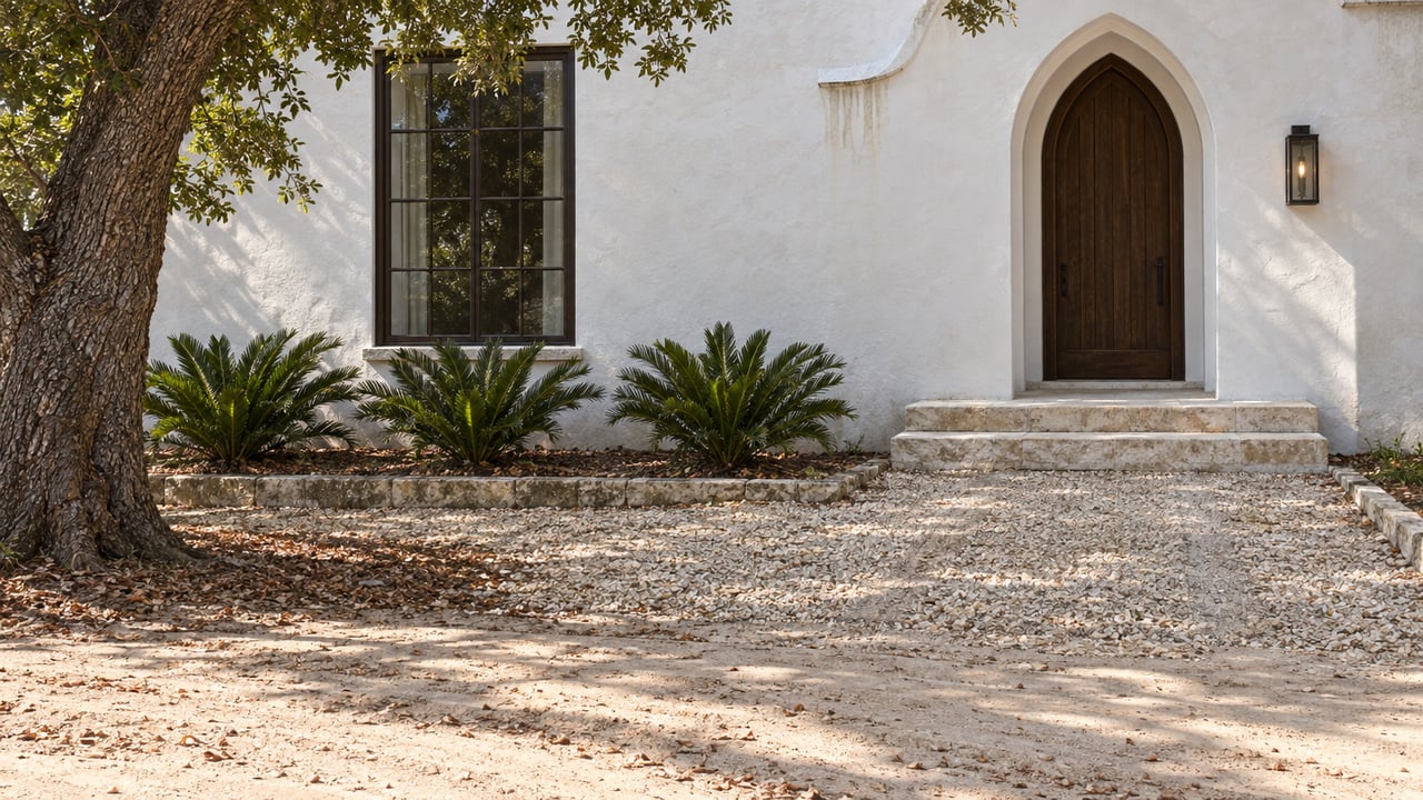
If you're looking at a cottage on Forest Street or Grove Street, that gap matters. The charm of an unpaved lane under a live oak canopy reads as permanent in listing photos. County records show it's actually the subject of an unresolved, multi-year vote about pavement material, street direction, and a financing mechanism that lands on the property owner, not the general fund.
Old Seagrove was platted in the early 1930s as Seagrove First Addition, laid out in a classic grid with 40 to 45 foot street rights-of-way. The streets were named for the trees that lined them: Grove Avenue, Forest Avenue, Cypress, and others. Nearly a century later, some of those streets are still unpaved, and the tree canopy that gave them their names is the reason.
Residents formed a Neighborhood Planning Group in 2023 to figure out what to do about it. About 100 people showed up to the first organizational meeting that April. A Ballot of Interest went out that September and came back 92 percent in favor of pursuing a formal plan. What followed was a year of drafting, community meetings, and a survey sent to property owners that put the actual trade-offs on the table in numbers.
The survey results, posted by the county, are more specific than anything in a listing description. Asked whether Forest Street and Grove Street should become a one-way pair so paving could stay narrower and preserve more trees, 73.25 percent of the 157 respondents said yes. Asked whether they'd accept a special tax and fee assessment to pay for an upgraded paving material like brick pavers, 65.38 percent said yes. Asked whether asphalt should replace other paving options in the existing road footprint if it meant better stormwater handling and tree protection, the answer split almost in half: 52.23 percent yes, 47.77 percent no. Elsewhere in the same survey, residents were asked to pick between two statements: opposing any paving that costs a single tree, or accepting paving with limited tree loss if the road stayed on its current alignment. That's not a neighborhood that has settled on an answer. It's a neighborhood that has agreed, by a wide margin, that it's willing to pay for whichever answer it lands on.
That last point is the one a buyer needs to sit with. A special assessment is a specific legal tool: the county calculates the cost of a road improvement, spreads it across the benefiting parcels, usually by frontage, and places a lien on each property until it's paid. It is not a tax increase spread across every resident of Walton County. It is a bill addressed to the owner of the lot next to the work.
None of this shows up in an MLS listing, because no assessment has been levied yet. The plan itself was adopted as an overlay to the Land Development Code, cataloged as Appendix NP-8, with new rules on setbacks, building heights, tree protection, and signage. The roads were part of the same two-year conversation, but the survey data shows the financing question was being tested, not settled, at the same time the zoning questions were being voted into ordinance language. A future paving project on Forest or Grove could move forward under the same neighborhood-plan authority, and when it does, the funding mechanism residents already indicated they'd accept is the one that shows up as a lien, not a tax bill.
The other detail worth knowing before you write an offer is that the plan's boundary wasn't fixed until the final vote. Commissioners approved the plan 3-2 with an amendment that redrew the boundary to exclude a specific set of parcels near County Road 30A, owned by the Johnson and Thorpe families, along with an adjacent county-owned sliver. Jane Solomon and Mary Solomon, whose family land was also inside the original boundary, asked commissioners to remove their parcels too, arguing the plan would reduce what they could do with the property. The final vote didn't grant every request, but it did confirm that inclusion in the plan area is decided parcel by parcel, right up to the moment of adoption.
That precedent means you can't assume a property is inside or outside the Old Seagrove Neighborhood Plan just because it shares a street name with a house that clearly is. Two lots on the same block, with the same tree-lined dirt frontage, can sit on opposite sides of a boundary that was actively negotiated the same night it became law.
For a serious buyer, this translates into a short list of questions worth answering before, not after, closing:
Does every street in Old Seagrove face this same pending decision? No. The survey and the adopted plan cover the neighborhood as a whole, but the specific one-way conversion question was asked about Forest Street and Grove Street by name. Other unpaved streets in the area may be treated differently depending on width, tree cover, and future county action.
Is an unpaved road in Old Seagrove out of compliance with anything? Not based on anything in the adopted plan or the county's own materials. The dirt roads predate current standards and continue to function as county-recognized rights-of-way. The open question is whether and how they get upgraded, not whether they're currently allowed to exist.
How would I actually confirm my parcel's status before closing? The Walton County Planning and Development Department maintains the Neighborhood Planning Program page with links to each adopted plan and its boundary. A parcel-specific check through the department, paired with a title search for any recorded lien or noticed assessment, covers both sides of the question: whether you're in the plan area, and whether anything has already been billed.
Buying in Old Seagrove means buying into a neighborhood that spent two years arguing about its own streets in exact percentages, and reached a compromise everyone can quote but nobody has fully paid for yet. That's not a reason to walk away from a listing on Forest or Grove. It's a reason to ask the right question before you're the one holding the parcel when the assessment roll comes up for its hearing.
If you're weighing a specific address in Old Seagrove and want someone to walk the parcel-level details with you before you write an offer, Koenenn Group can help you check the boundary, the title, and the numbers before you're under contract. Schedule a consultation and bring the address.
Stay up to date on the latest real estate trends.





We pride ourselves in providing personalized solutions that bring our clients closer to their dream properties and enhance their long-term wealth. Contact us today to discuss all your real estate needs!
KOENENN GROUP
2048 W COUNTY HIGHWAY 30A STE 107 SANTA ROSA BEACH FL 32459